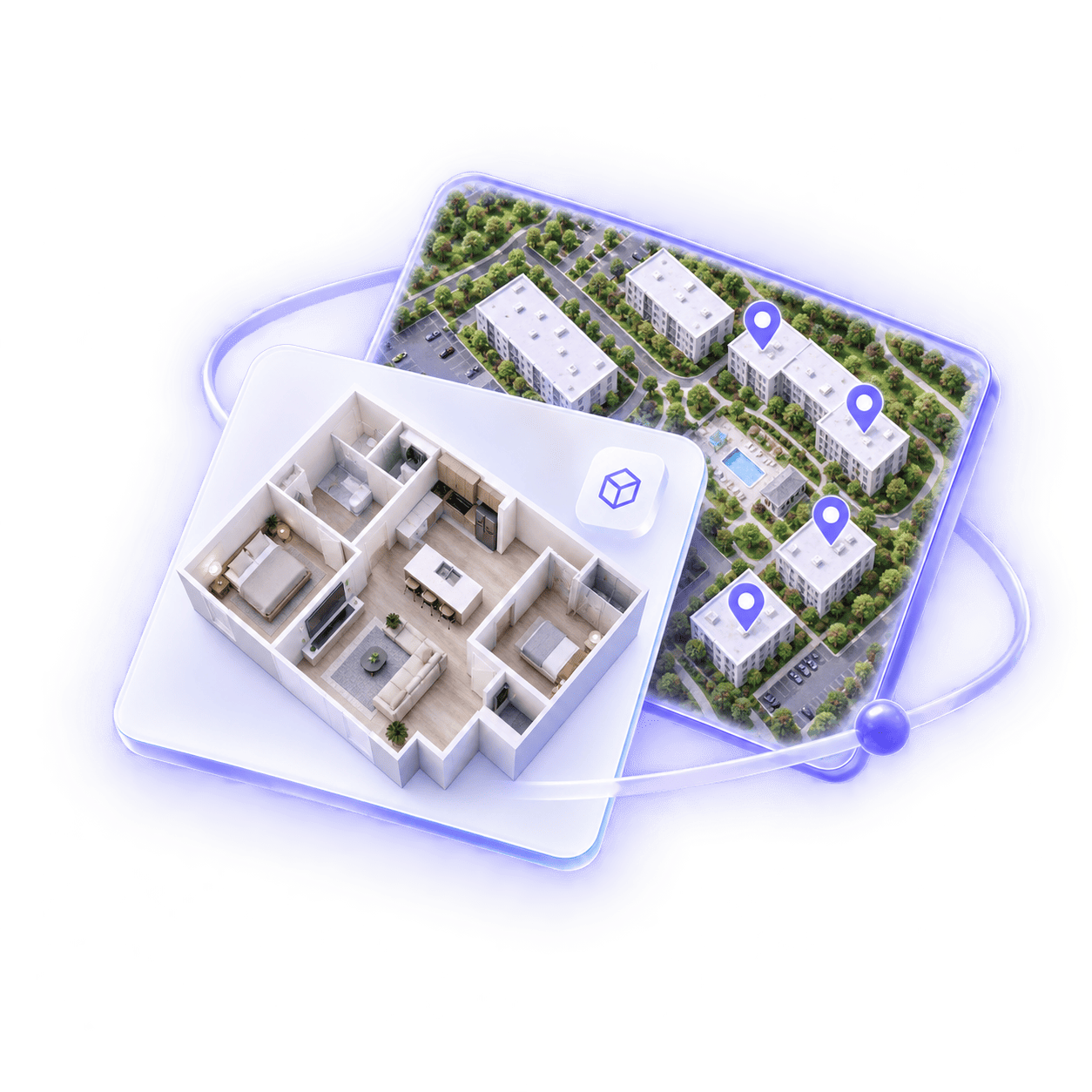
A map is part of the leasing journey
Most property maps answer a basic question: where is everything located?
For a renter, that is only the beginning.
They may want to know which residences face the pool, how far a building is from parking, whether an amenity sits close to their preferred unit, or which part of a community feels best suited to their routine.
A static map can present the property. An interactive map can help someone investigate it.
That difference matters because browsing becomes useful when each interaction reduces uncertainty. A renter begins with a broad view, follows the details that matter to them, and gradually moves closer to a decision.
A useful map does not simply locate the property. It helps renters locate themselves within the experience.
Start with the whole property
Before people compare individual residences, they need a clear mental model of the place.
How is the community organized? How many buildings are there? Where are the shared spaces? Which areas connect to the street, parking, transit, or neighborhood?
The first map view should make that larger structure easy to understand.
This does not require displaying every detail at once. In fact, too much information can make the property harder to read. Strong hierarchy matters more than density.
Primary buildings, important amenities, access points, and navigation cues should be clear at a glance. Secondary details can appear as the renter moves closer or selects an area.
The map becomes an orientation layer: simple enough to understand immediately, but detailed enough to support deeper exploration.
Let renters follow their priorities
Not every renter evaluates a property in the same order.
One person may begin with available two-bedroom residences. Another may start with the fitness center, outdoor areas, or the building closest to public transit. Someone working from home may care most about coworking space and the position of quieter residences.
Interactive maps support these different paths without forcing everyone through a single sequence.
Filters and selectable locations allow renters to focus on what matters to them. The map can respond by revealing relevant buildings, floors, residence types, or amenities while preserving the overall context.
This turns exploration into a personal process. Instead of scanning a long list and trying to remember where each option belongs, renters can see the relationship between their preferences and the physical property.
Connect location to real options
Location becomes more valuable when it connects directly to availability.
A renter who selects a building or floor should be able to understand what choices exist there. A renter viewing a residence should be able to see where it sits within the property.
This two-way connection helps bridge the gap between browsing and action.
Rather than moving between an isolated map, a separate availability list, and individual floor plan pages, people can follow a continuous path:
- choose an area of the property;
- view the relevant residences or layouts;
- compare the options;
- open the detail that answers the next question.
The experience feels coherent because each step carries the previous context forward.
For leasing teams, this also creates a clearer property story. Buildings, floors, units, floor plans, amenities, and media no longer compete as separate pieces of content. They work together around the renter’s intent.
Make amenities part of the decision
Amenity lists often describe what a property offers, but not how those features fit into daily life.
A map adds spatial context.
Seeing the pool is useful. Understanding which buildings surround it, which residences overlook it, and how it connects to outdoor space is more meaningful. The same is true for parking, coworking areas, pet spaces, fitness rooms, and shared lounges.
The relationship between a residence and an amenity may influence a renter differently depending on their priorities. Proximity can be an advantage for one person and a reason to choose another part of the property for someone else.
An interactive experience gives both renters the information they need without deciding for them.
It can also connect each location to the right visual asset—a Photography Tour, Render Tour, image, or description—so people can understand both where the amenity is and what it feels like.
Reduce the work of comparison
Comparison becomes difficult when the renter has to hold too much information in memory.
They open one unit, return to a list, try another floor plan, then look for the map again. Each disconnected step adds effort and creates another opportunity to leave.
An interactive map can reduce that work by keeping choices anchored to place.
Selected states, visible filters, consistent labels, and a clear route back to the previous view allow renters to explore several options without becoming disoriented. They can compare locations as well as specifications.
This is especially important for properties with multiple buildings, repeated floor plans, or many available residences. Two units may share the same layout while offering a different floor, orientation, proximity, or view.
The map makes those differences visible before the renter needs to ask the leasing team to explain them.
Keep the interface quiet
Interactive does not have to mean complicated.
A map can contain many connections while still presenting a calm, focused experience. The key is progressive disclosure: show the information required for the current decision and reveal more when the renter asks for it.
At the property level, the user needs orientation. At the building level, they may need floors or residence categories. At the unit level, they need the details and media that help them evaluate a specific option.
Controls should remain recognizable. Selected states should be obvious. Labels should be readable without covering the property. On mobile, touch targets and panels should leave enough of the map visible to preserve context.
The interface succeeds when the renter notices the property—not the amount of functionality behind it.
Create a clear next move
Every useful path through the map should lead to a relevant next step.
That does not mean placing the same conversion button everywhere. The action should match what the renter has just learned.
After selecting an amenity, the next step may be to open its tour. After choosing a floor plan, it may be to view matching residences. After exploring a unit, it may be to check availability, schedule a visit, or contact the leasing team.
The transition should feel continuous: from location, to understanding, to a concrete option.
When those steps are connected, the map stops being a reference graphic and becomes an active part of the leasing experience.
What engagement can reveal
Map interactions can show how renters investigate a property.
Teams may learn which buildings receive the most attention, which amenities prompt deeper exploration, which filters renters use, or where people move from a broad property view into a specific floor plan or residence.
These signals are most useful when interpreted as part of the wider journey. A popular location does not automatically explain intent, and a low-interaction area does not always indicate low interest.
But patterns can reveal where the experience is clear and where it may need support.
If renters repeatedly open a building but rarely continue to its residences, the connection may need to be stronger. If a particular amenity leads to longer sessions or more unit exploration, it may deserve greater visibility in the property story.
The map can improve as the team learns how people actually use it.
The takeaway
An interactive map is most valuable when it helps renters move through a decision, not just across a property.
It gives them a clear view of the whole community, lets them follow their priorities, and connects location to layouts, residences, amenities, and media.
The result is a more understandable path from “What is here?” to “Which option works for me?”
When browsing carries context forward and every interaction supports a meaningful next step, the map becomes more than navigation. It becomes part of how a renter finds the right place within the property.